IMS4 Road Weather Information System is a unique system consisting of several meteorological stations strategically located alongside the highway that offer detailed information about weather and road conditions.
Specialized equipment and computer programs monitor weather and pavement parameters to make forecasts. This gives the road maintenance authorities opportunities to utilize alternate de-icing chemicals, make optimal use of materials and staff, and practice anti-icing techniques. RWIS stations are located in strategic locations to provide accurate real-time road weather information and critical observations for forecasts.
AUTOMATIC ROAD WEATHER STATION
IMS4 Road Weather Information System consists of meteorological stations strategically located alongside the highways. Specialized cutting-edge hardware equipment and software continuously analyze the weather and visibility and provide inputs for the forecasting models. The system integrates 8 Automatic Road Weather Stations, 5 already existing Automatic Weather Stations and Offshore Buoy. The data center performs a continuous monitoring and analysis and provides a comprehensive, up-to-date online data available 24 hours a day.
The actual values of temperature, relative humidity, rainfall, water level, as well as wind speed and direction in different parts of the Municipality are provided every two minutes, ensuring up-to-date data for the traffic safety. Road stations improve timeliness of maintenance actions, increase winter maintenance efficiency, and minimize the traveling public’s exposure to hazardous weather-related roadway conditions.
The fog forecasting models provide a local visibility forecast and prediction of fog development in the traffic areas. It further provides an early warning of possible formation of water fog. The system provides excellent results. In a one year test, the forecasts creation, supported by all components of the system, achieved success in fog forecasting at 95 % (the probability of detection score) with only 18 % of false alarms.

ROAD WEATHER MODELING
Road / runway condition model
Road / runway Condition Model is suitable for prediction of potential risk on roads or runways caused by winter conditions. Model provides nowcasting and / or short term forecasting of
road / runway condition based on radiation and heat budgets. It is very powerful tool for supporting road maintenance during winter season.
Fog prediction approaches
3D meteorological model is executed for a limited region; its outputs are converted using empirical formula into visibility. This output is combined with 1D physical radiation modeling, statistical post-processing, and Data mining to generate the Fog Prediction.
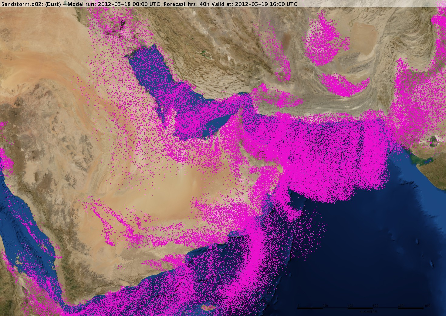
Sandstorm modeling
Sandstorm model is based on the state-of-the-art of the 3D numerical weather prediction and the model for sand uplift, dispersion and deposition.